
Introduction
At Owl Eye, we specialize in high-accuracy drone mapping in Morocco, providing industry-leading RTK drone surveys and GCP measurement services. Whether you’re in construction, energy, telecommunications, or land surveying, having precise geospatial data is essential for accurate decision-making.
High-accuracy mapping is crucial for industries that require precise geospatial data, ensuring that projects are delivered efficiently and in compliance with regulations. This article outlines how we meet these requirements using RTK drones, GCPs, and advanced geospatial workflows.
Meeting High-Precision Mapping Needs
For large-scale mapping projects, key requirements often include:
- Regular drone inspections for monitoring progress.
- High-precision RTK drone mapping to ensure sub-centimeter accuracy.
- Ground Control Points (GCPs) for additional accuracy validation.
- A fully self-sufficient RTK setup when NTRIP service is unavailable.
- Compliance with Moroccan drone regulations, including flight authorization.
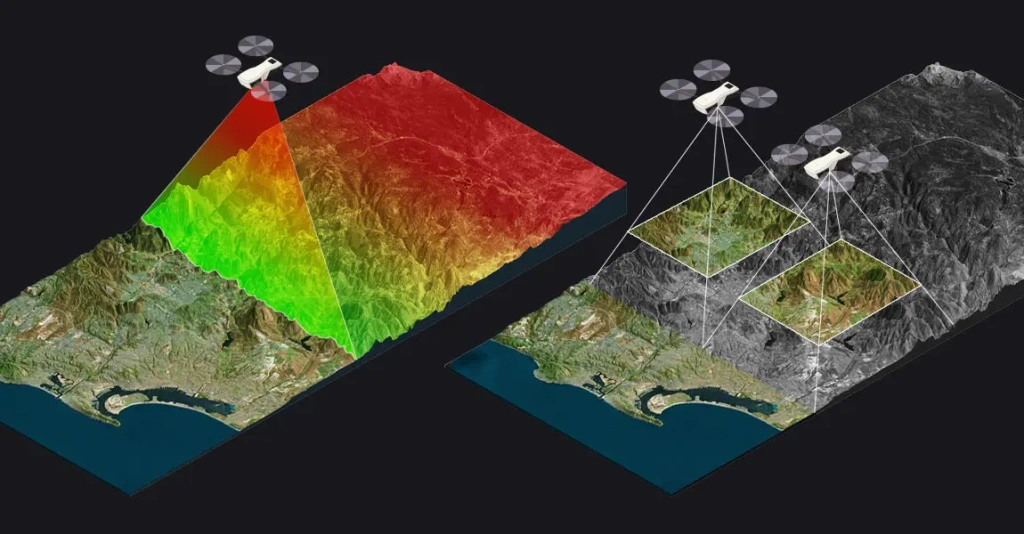
To achieve this level of precision, we implement a complete RTK system that allows real-time corrections for aerial data collection while also ensuring precise ground control verification. This dual approach guarantees that our results align with the highest industry standards.
Achieving High-Accuracy Drone Mapping in Morocco
Using a fully integrated RTK solution, we establish a reference point to provide real-time corrections during flight. This ensures that drone imagery is georeferenced with high precision from the moment of capture. Additionally, ground control verification allows for further refinement, ensuring maximum reliability in all conditions.
Since Morocco lacks a national NTRIP RTK service, we use an independent system capable of providing consistent, high-accuracy positioning across all inspection visits. By ensuring a solid geospatial foundation, we offer a reliable solution for industries requiring precise terrain and infrastructure data.
For projects requiring extreme precision and efficiency, integrating two Emlid Reach RS3 GNSS receivers and a LoRa radio link significantly enhances data accuracy and real-time communication between base and rover units. One Reach RS3 acts as a fixed RTK base station, providing real-time corrections, while the second Reach RS3 serves as a rover for precise GCP measurement. The LoRa radio module allows seamless long-range RTK corrections without requiring an internet connection, making it the ideal solution for remote locations.
Alongside this GNSS setup, we deploy the Mavic 3 Enterprise RTK, a state-of-the-art aerial mapping drone that integrates seamlessly with the RTK system. With its high-resolution camera and real-time positioning capabilities, the Mavic 3 Enterprise RTK ensures that aerial imagery is captured with absolute geospatial precision. By combining the Reach RS3 units with the Mavic 3 Enterprise RTK, we eliminate the need for excessive GCPs while maintaining survey-grade accuracy across large-scale mapping projects.
Ensuring compliance with Moroccan aviation laws and obtaining the necessary flight authorizations are integral parts of our process. We handle all regulatory requirements to ensure smooth and legally approved operations.
Who Can Benefit from This Workflow?
Our RTK drone mapping & GCP services are ideal for:
✅ Solar & Renewable Energy Projects – High-accuracy site monitoring.
✅ Telecommunications (Tower Inspections, Fiber Networks) – Precise geospatial mapping.
✅ Construction & Land Surveying – Accurate terrain & elevation models.
✅ Agriculture & Forestry – Precision land-use planning.
If your business requires geospatial data with survey-grade accuracy, our RTK drone solutions ensure faster, cost-effective, and precise results.
Why Choose Owl Eye for Drone Mapping in Morocco?
🚀 Certified RTK & GCP Experts – Extensive experience in drone-based geospatial mapping.
🚀 We Handle Legal Compliance – Full flight authorizations & regulatory approvals.
🚀 State-of-the-Art Equipment – Ensuring precise, real-time corrections.
🚀 Advanced GNSS & Drone Integration – Leveraging two Reach RS3 receivers, LoRa radio, and Mavic 3 Enterprise RTK for optimal accuracy.
🚀 Competitive Pricing & Custom Solutions – Tailored for your industry needs.
We provide the highest level of accuracy while maintaining affordable pricing to fit your budget.
Contact Us for a Free Consultation
📞 Need high-accuracy RTK drone mapping in Morocco? Let’s discuss your project!
📧 Email us: hatime@owleye.ma
🌍 Visit our website: https://owleye.ma/
📲 Call us: +212661949223
📩 Contact us directly here: https://owleye.ma/contacts/
We’re ready to bring high-precision drone mapping to your next project!
Surveying with GCPs and Drones in Morocco